A Beginner’s Guide to Hiking Mount A This Winter

This article was written by former Trails, Grounds and Facilities Supervisor, Darin Radatz, and first appeared in the Winter 2018 Summit View. For past editions of the Summit View, click here

The snow, ice and cold of winter have arrived but that does not mean the hiking season has to be over. With planning and proper preparation, a winter hike can be a safe and enjoyable experience. Please keep the following in mind when planning an outing:

Check the Weather – Look specifically for precipitation, wind speed and daylight hours.

Start Small and Start Early – Be reasonable about the distance and difficulty of the trail. While it may be easy to hike 10 miles in summertime conditions, you may run into ice or deep snow on the same trail in the winter.

Safety Gear – Put these in your backpack:

  • 1st Aid Kit
  • Trail Map
  • Compass
  • Multi-Tool
  • Hand Warmers
  • Full Water Bottle
  • Granola Bars
  • Headlamp

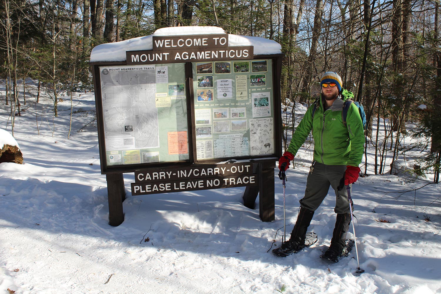
Crampons or Snowshoes – For icy trails such as Sweet-fern and Vulture’s View, use crampons, which are a traction device that is attached to footwear to improve mobility. For snow over 4 inches, use snowshoes which distribute weight so you don’t sink in the snow.

Buddy System – Hike with a friend and make sure to tell another of your hiking plans. Remember to also let them know when you have returned from the trail safely.

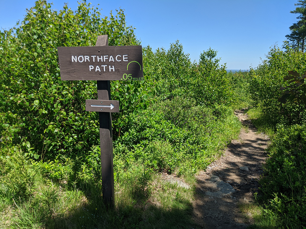
Wintertime Navigation – Use Trail Blazes, which are the rectangular paint markers found on the trees on the trail route. The trail map will indicate the blaze color of the path you choose. Distance between blazes varies, however if you have gone as much as a quarter mile without seeing a blaze, STOP. Retrace your steps back to find the last blaze. After a new snow, or on more remote trails within the management area you may find that trail blazes are the only way to be certain you are on the correct path.

Hot Tea or Cocoa – Having an insulated thermos of a hot drink will warm you up and provide a nice break!

Don’t Forget – The Mount Agamenticus park and trails are open year round, dawn to dusk. Summit access road gate hours from October through March are 7am-sunset. Weather conditions may cause temporary road closure!

Happy trails and be safe!


What’s in a Name?

Many of the trails here at Mount Agamenticus are named for well-known plant or animal species (like Cedar, Bobcat, Goosefoot, Porcupine). Others are named for physical features. Ring Trail, for example, is called Ring because (and you may have guessed) the trail makes a ring around First Hill. Another: Northface Path is on the northern face of the summit.

Okay, so, what’s a Darter? The Swamp Darter is one of Maine’s smallest freshwater fish and, at the northernmost limit of its range here in the state, is considered a Threatened species. It is known to be found in only three locations in Maine, all right here in southern York county: the York River, the Great Works River, and the Neddick River drainages. Chase’s Pond, Folly Pond, Chicks Brook, Boulter Pond, and Hooper’s Brook are all within these drainages. You can read more about the Swamp Darter here (outside PDF opens in new tab), at the Maine Department of Inland Fisheries and Wildlife website!

Check us out on Instagram or Facebook to follow along later this month, when we’ll be highlighting our trails named for plant and animal species! Follow the hashtag #TrailSpotlight.

The Newest Summit View is Here!

The latest addition of the Friends of Mount Agamenticus newsletter, the Summit View, is hot off the presses!

Remote collaboration isn’t new to the Friends, especially when it comes to putting together this seasonal newsletter, but it’s safe to say that we all miss meeting in person. We hope you are safe and well, and that this transition from Summer to Fall, and everything the new season brings with it, goes as smoothly as possible. You can read the newest issue by clicking here. PDF will open in a new tab.

The Spring 2020 Summit View is Here!

It’s a few weeks behind “schedule,” but spring’s Summit View is here! This issue contains a COVID-19 update on trails and programming, information about humane landscaping, and, as always, beautiful words and photos from the Friends of Mount A members. So much of the work we do couldn’t be done without the help of an incredible group of dedicated volunteers, and especially now, we are so thankful!

We’d like to take this opportunity to thank Rachel of Schumacher Creative Design, who has been responsible for the design and layout of the Summit View since its inception. She also designed the logos for both the Conservation Program and the Friends of Mount A, and helped with the opening of the Learning Lodge, ten years ago! The bear silhouettes in the Bears’ Den and the Giving Tree are both her creations. Rachel, THANK YOU for volunteering your time and your talent to bring our ideas to life!

Download this season’s newsletter, here (PDF file, 372 KB ).

Photo of Mayflower by Trail Crew member David Tibbetts.

We Are Planning for the Future!

There is no doubt that Mount Agamenticus has been discovered! Over an estimated 50,000 people visit the area each year to enjoy its natural beauty, scenic vistas, and unique network of over 40 miles of trail. It has become apparent through visitor feedback, direct observation and vehicle traffic studies that use continues to increase and the area needs attention to address this growth.

Parking improvement and public restroom upgrades have been proposed for both the summit and base of Mount Agamenticus.  Visit the Planning for the Future page for more information about this project, including planning documents, photos, maps and video showcasing the work to date.